A 360 virtual tour is a set of several to a dozen or so panoramas linked into a route. You open it on a computer or a phone, look around and click the arrows to move to the next room. It lets you see a restaurant, a hotel, a clinic or an apartment before you go there.
I first wrote this post in 2015 as a short explanation of what virtual tours are. In September 2026 I rewrote it from scratch and added what people ask about most: how to make one. The stages below follow the order I work in on client projects.
What is a 360 virtual tour
It starts with a spherical panorama: a photo that shows the whole surroundings at once, front, back, sides, ceiling and floor. I wrote about spherical panoramas separately. One panorama shows one spot. A tour is created when there are several panoramas and each has arrows leading to the neighbouring points.
In a tour you can:
- look around in every direction by dragging the image with a finger or a mouse,
- move between points with the arrows, the way you walk through a space,
- zoom in on details you want to see more closely.
A tour built in dedicated software can also include descriptions of points, a floor plan or sound. On Google Maps a tour consists of panoramas and arrows only, but it shows up right on the business profile, next to photos and reviews.
A 360 virtual tour is not the same as a spatial model built by services such as Matterport. A model needs different equipment and a different service. A 360 tour is made only of photos taken at selected points.
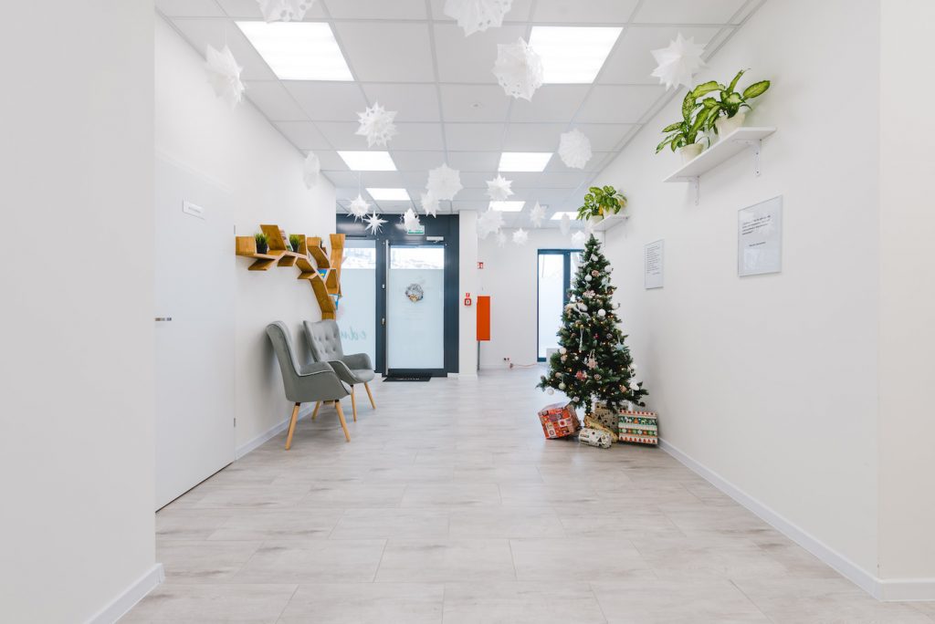
How to make a virtual tour, step by step
Below are seven stages. The first two happen before a single photo is taken, and they usually decide whether the tour is comfortable to view.
1. Plan the route and the panorama points
Before you take out the camera, walk through the space with a floor plan and mark where the points will be. The rule is simple: from each point you must be able to see the next one, otherwise the arrow leads into a wall. Place a point where the room is best visible, and at the transitions: in doorways, at the end of a corridor, by the stairs.
The number of panoramas depends on the layout, not on the floor area. A small venue usually fits in 3 to 5 panoramas, an office or a clinic with several rooms in 6 to 10. A long corridor needs more points than a large open hall.
Choose the starting point too. It is the first view a visitor sees, so it is usually the entrance or the most distinctive spot: the restaurant dining room, the hotel reception.
2. Prepare the space
A panorama sees everything around it, so nothing stays out of frame. Before shooting:
- tidy up the rooms, including counters, windowsills and corners that would not fit in a regular photo,
- switch on the lights that are normally on,
- tell the staff: a person who walks past the camera during a shot stays on the panorama as a blurred, half-transparent figure,
- lock automatic doors, because they open and close during the shot.
It is best to shoot before opening or after closing, when nobody is walking around the room.
3. Take the spherical photos
The simplest way is a 360 camera on a tripod. I work with a Ricoh Theta Z1. At every point I watch three things:
- The same height. The tripod stays at the same height everywhere. Otherwise the floor seems to move closer and further away as you go from point to point.
- The photographer out of frame. A 360 camera also sees the person operating it. I trigger the shot from a phone app, standing behind a wall or in the next room.
- Light from the window and from the corner. One frame has a bright window and a dark corner. The camera will not balance that on its own; several shots at different brightness from the same point help, or careful editing.
The other way is a regular camera with a wide-angle lens on a panoramic head: a dozen or so shots from one point, stitched together in software later. It gives more detail, but each panorama takes much more time.
4. Edit the panoramas
A file straight from the camera is rarely ready to publish, so I edit every panorama by hand:
- I balance the light so windows are not white patches and corners are not black holes,
- I straighten the horizon, because a tilted panorama wobbles when you turn it,
- I blur faces and licence plates, as the publishing rules of Google Maps require,
- I cover the tripod at the bottom of the panorama with the company logo or a piece of floor.
5. Link the panoramas into a route
In virtual tour software you set which points connect and place the arrows. Set the connections both ways, so you can go back from a room to the corridor. Finally, choose the starting view of each panorama, that is the direction a visitor faces on entering the point.
Pick the software based on where the tour will be shown: on Google Maps, on a hosting service such as Kuula, or on your own server, with a desktop program that exports the finished tour.
6. Publish the tour
I publish business tours on Google Maps, on the business profile. That way the tour shows up in search results and in Maps, next to photos and reviews. Publishing is not instant: Google processes the uploaded panoramas and connections, so for the first few days some points may not be visible yet. If the business is not on Maps yet, first you need to add it to Google Maps.
An apartment for sale has no business profile, so I host such a tour on a service that provides a link and an embed code, for example Kuula. The link goes into the listing. That is how the tour of an apartment in Targówek was made.
7. Put the tour on a website
You embed a finished Google Maps tour on a website with the code you copy from the Share button. I described the steps, with screenshots, in the post on how to add a virtual tour to a WordPress website.
How long does it take to make a virtual tour
Shooting a small venue or office takes 2 to 3 hours. Then come editing, linking the panoramas and publishing. I deliver the finished tour within 14 days of the shoot, because part of that time depends on processing on Google’s side.
What a finished tour looks like
Below is a tour of a preschool in Warsaw that I made and published on Google Maps. Turn the view and click an arrow to move to the next point.
More about this project: virtual tour of the preschool. Other tours are in virtual tour projects.
If you prefer to order a tour
I make 360 virtual tours of venues, offices, clinics and hotels in Warsaw. The price depends on the number of panoramas and the layout, and I confirm the publishing method in the quote.


